LATE WINTER PNWAS
Thursday, February 9th, 2023
Thursday, February 9th, 2023
Example of Sunfish Inc untethered underwater vechicle
use in exploring stone fish weirs; an underwater
robot/drone
|
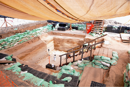
10,100 year old stone fish weir found over 150 feet
underwater with robotic cameras, the Shakan Bay weir
may be one of the oldest confirmed weirs in the world
|
Our Submerged Past:
The importance of a submerged fish weir in Shakan Bay, southeast Alaska
By Dr. Kelly Monteleone, University of Calgary
The importance of a submerged fish weir in Shakan Bay, southeast Alaska
By Dr. Kelly Monteleone, University of Calgary
PNWAS ZOOM Meeting
Thursday February 9th 2023
starting at 6:30 with program at 7:00 PM
To join the ZOOM Meeting and see the presentation
please become a member today!
Thursday February 9th 2023
starting at 6:30 with program at 7:00 PM
To join the ZOOM Meeting and see the presentation
please become a member today!
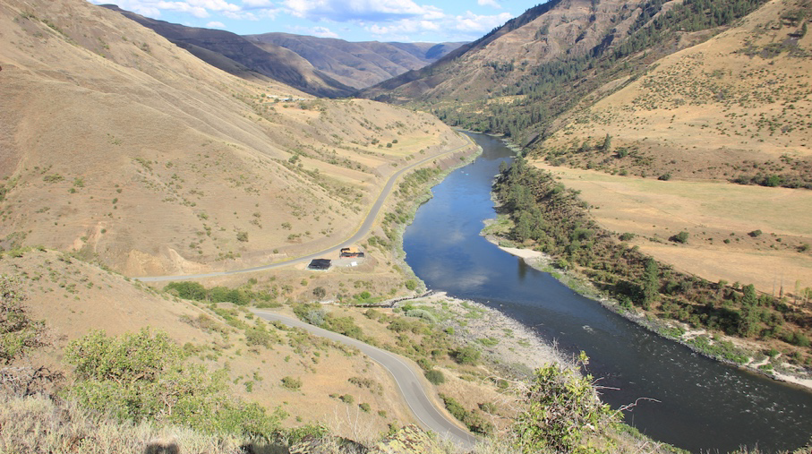
Southeast Alaska, specifically the continental shelf and islands on the west side of Prince of Wales Island, had a drastic sea-level rise at the end of the Last Pleistocene/Early Holocene. There was up to 176 m of sea-level rise, from -165 m to 11 m, in approximately 7000 years: an enormous change in a relatively short time. This submerged coastline would have been the along the route for early peoples journeying to the Americas.
The stone fish weir confirmed on the seafloor at 52 m (currently estimated to be 11,100 cal BP) demonstrates that early land-use locations (archaeological sites) are preserved on the continental shelf, supporting the coastal migration or kelp highway hypothesis. Additionally, the Shakan Bay weir may be one of the oldest confirmed weirs in the world.
The confirmation of this side-scan sonar feature can provide confirmation of other side-scan anomalies that are thought to be stone weirs structures.
Dr. Kelly Monteleone, an Underwater Archaeologist, will present this exciting find in our first 2023 PNWAS program.
Read the exciting Sealaska news release at:
https://www.sealaskaheritage.org/node/1623
And Alaska News release and interesting video:
https://www.foxnews.com/science/stone-fish-trap-found-near-alaskan-coast-believed-11000-years-old-researchers-say
Map of study region and area, including study areas for
Gateway to the Americas II
|
Late Glacial Maximum (LGM) glaciation and possible
refugia for people to move along the coastal margin
|
Reconstruction of the location of the potential weir and
depressions on the landscape (sea-level is at 52 m with a
1 meter gap for tide).
